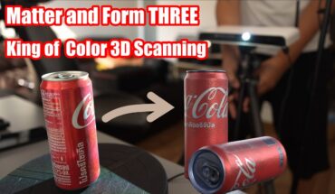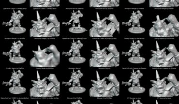
I tried RTab map on iPhone and got hooked so I ordered a Realsense D455f.
I know it’s not the best setup for making pointclouds, photogrammetry is better at it.
But photogrammetry doesn’t fit al use cases, sometimes +-2cm is alright. And doing slam has its benefits.
If things work out I hope to find a better scanner that works with RTab map, a surveying scanner is a bit expensive.
submitted by /u/APOS80
[visit reddit] [comments]
Source link


