


Hi everyone,
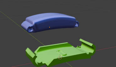
does anyone have experience in creating a model from a combination of depth maps and laser scans (with trajectory)? The high-quality depth map was created from photos taken with a DJI Mavic 3 Enterprise UAV at flying heights of 30-70 m (oblique), resulting in a tiled model resolution of 2.5 cm/pix. The laser scan was performed using a UAV equipped with a Zenmuse L2 sensor at a flight height of 80 m (oblique), with an average LiDAR accuracy of 4 cm. The LAS file was cleaned using the Statistical Outlier Removal method, and an Align Laser Scans (highest) was performed. The LAS density is three times greater than the generated high-quality point cloud from SfM (only for comparison). The resulting model from the Depth + Laser fusion is significantly worse than the one created solely from the depth map. Many mesh structures either were not created or were removed. Does this mean that the LAS data is too inaccurate for this fusion case? Are the deviations in centimeters too large when combined with a relatively high-quality depth map? Thank you for your advice.
PS: I know that the manual states that fusion is suitable for ‘City-scale’, but I wanted to test whether it would improve the model of the interior of an open technological object, which is quite shaded for SfM.
submitted by /u/Simple-Cricket-672
[visit reddit] [comments]
Source link


